
Autonomous infrastructure surveillance
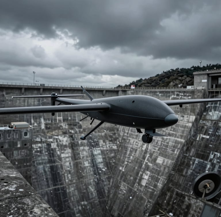
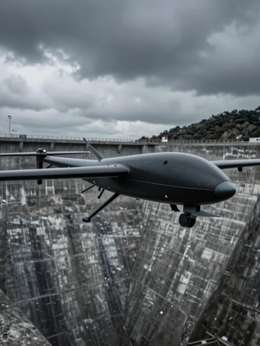
Deploy sovereign, edge-AI powered airframes for continuous corridor mapping and structural anomaly detection. Operating flawlessly in telemetry-denied industrial environments.
Engineered for continuous oversight
Sovereign intelligence designed to monitor, analyze, and protect critical energy grids and pipeline networks.
Corridor Mapping
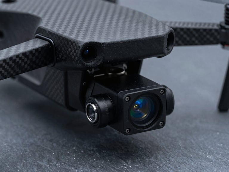
Thermal Payloads
Enterprise Sync
Edge-AI executes automated flight paths along power lines and pipelines, detecting structural anomalies on-board without ground telemetry.
High-resolution thermal sensors capture real-time heat signatures to identify pipeline leaks and insulation failures instantly.
Seamless integration with existing GIS databases and security command centers ensures immediate tactical response coordination.

Sovereign airframe metrics
AQUILA
Engineered to withstand extreme environments, our dual-use platforms deliver high-endurance, telemetry-independent performance.
Engineered for close-up structural inspection and stationary hovering in high-wind industrial zones. Its adaptability to missions allows for dual use, including civil infrastructure monitoring, wildlife monitoring and civillian search and rescue operations
Initiate your deployment
Consult with our Bucharest-based aerospace engineers to configure a custom UAV fleet for your infrastructure monitoring requirements.